




SuperSafe™ navigation
Turn-by-turn directions built for city cycling
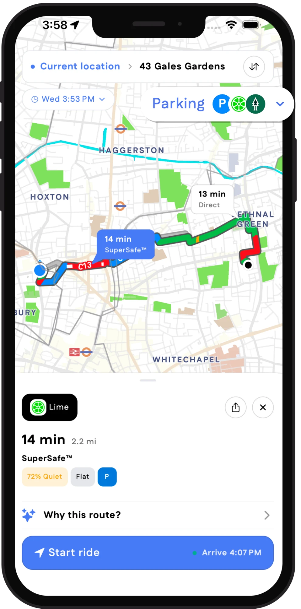
SuperSafe™ weighs every street for traffic, junctions, lighting, roadworks and rider reports, then talks you through the calm way there. The map shows what it is weighing.
How it works →What it weighs
Why this route
Every route comes with its reasons
No black box. Tap “Why this route” and SuperSafe™ shows its working: the busy roads it skipped, the junction it would not send you across, the roadworks it saw this morning and the report a rider filed last week. If you disagree, you can tell it.
How it works →Two minutes longer to skip Tottenham Court Road. Whitfield Street instead: quiet, lit the whole way, and no right turn across Euston Road.
Safety, by distance
Avoided along the way
- Avoids Tottenham Court Road and Euston RoadBusier roads or shared paths
- Avoids dangerous junction Euston Road / Gower Street onto Gower StreetRestricted turn
- 12 Sep – 14 Oct · weekdays 07:00–19:00Roadworks on Warren StreetTransport for London
- Avoids Cleveland StreetReported by riders
After dark, we stick to the lit streets
Once the sun sets, the router prefers streets with lighting, skips parks that lock their gates, and avoids unlit cut-throughs. Plan ahead by picking a date and time.
 Lime
Lime Forest
 Santander Cycles
Lime and Forest e-bike directions in London
One route does it all: the nearest e-bike, the safe way there, and a legal bay inside the operator's zone. You just tap unlock.
Cities change. So do our routes.
Roadworks, markets and closures are on the map with their hours.
Data from
 Department for Transport
This week in London
Mon 00:00 Bishopsgate worksStreet Manager · Dept for Transport
Every rider makes SuperSafe smarter
Report a hazard mid-ride. AI checks it, the map updates, the next rider is already rerouted. Credit goes to you.
Every ride counts. Literally.
Cyclemate writes your ride to Apple Health. Distance, time and route are saved as a Cycling workout the moment you arrive. Free, on every ride.
- Saved as an Outdoor Cycle workout, automatically
- Distance, time and route map
- Counts towards your Exercise ring